CitiesKarnataka
12.9716° N · 77.5946° E
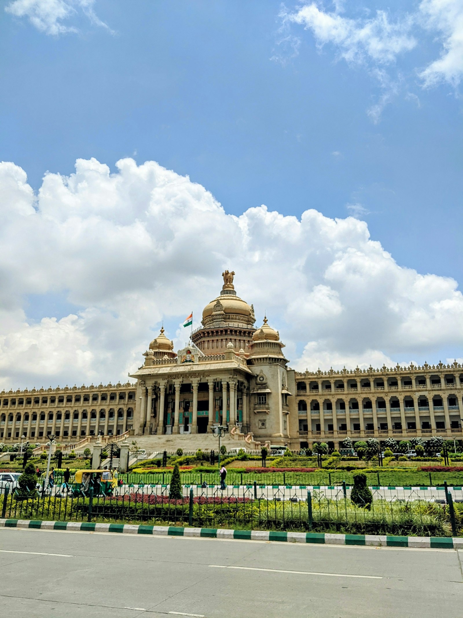
Bengaluru.
Lakes, storm water drains (SWDs), and Outer Ring Road tech corridors face flash flooding.
0 reports4 recurring spots
Open on the mapPhoto: Unsplash
0
Ankle-deep
0
Knee-deep
0
Waist-deep
0
Stalled vehicles
0
Extreme flooding
0
Not sure
Hotspots
Streets that return.
- Silk Board junction
Evening peak plus a backward-flowing drain at the underpass mouth.
- Bellandur lake road
Lake overflow and a blocked culvert. Cars sit half in on high-inflow days.
- Ecospace / ORR Tech Corridor
Tech corridor epicentre where stormwater channels overflow across both carriageways, stranding vehicles and commuters.
- Hebbal Flyover Junction
Airport arterial choke point. Water overflows from Hebbal lake valley onto service roads, creating extensive traffic jams.
Reports
The record.
Loading live reports…